a better view
Aerial Services Designed for Active Projects
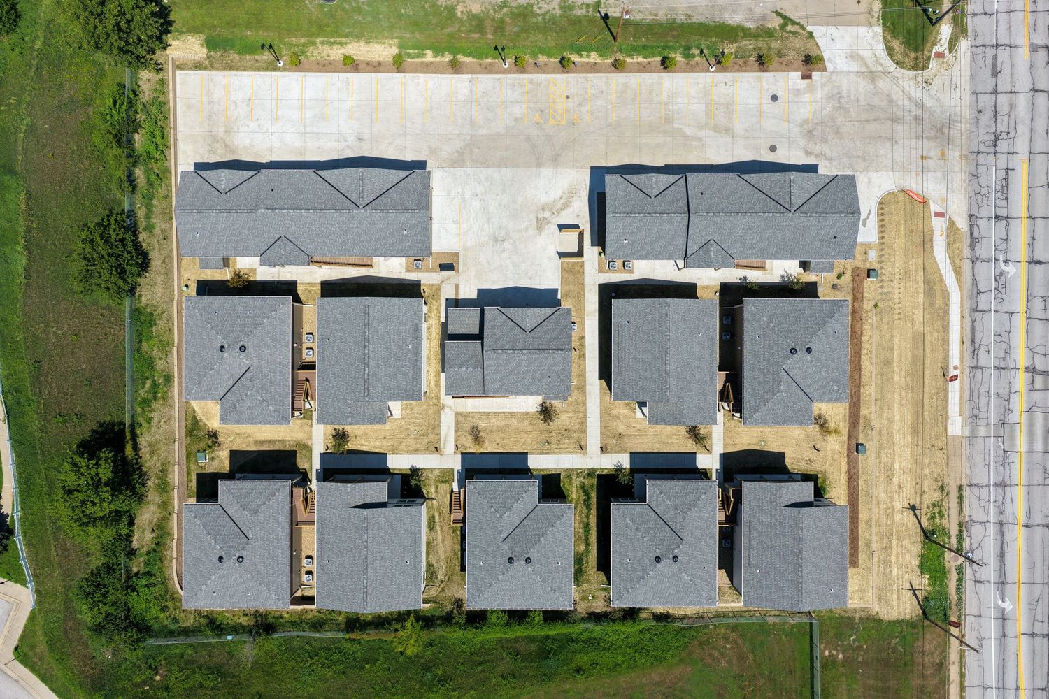
Reliable aerial documentation supports better communication, clearer timelines, and stronger reporting. Aerodrone provides consistent, repeatable imagery that helps teams track progress, present completed work, and maintain transparency with stakeholders.
Each service is built around practical application — not just photography.
Licensed & Insured
FAA Part 107 certified and fully insured for commercial drone operations.
Construction Industry Experience
Hands-on experience in construction means understanding job site safety, scheduling, and documentation needs.
Consistent, Repeatable Flights
Reliable flight paths create accurate visual timelines and dependable comparisons month after month.
Professional Delivery
High-resolution imagery is delivered clean, organized, and ready for reporting or marketing your projects.
our services
Construction Progress
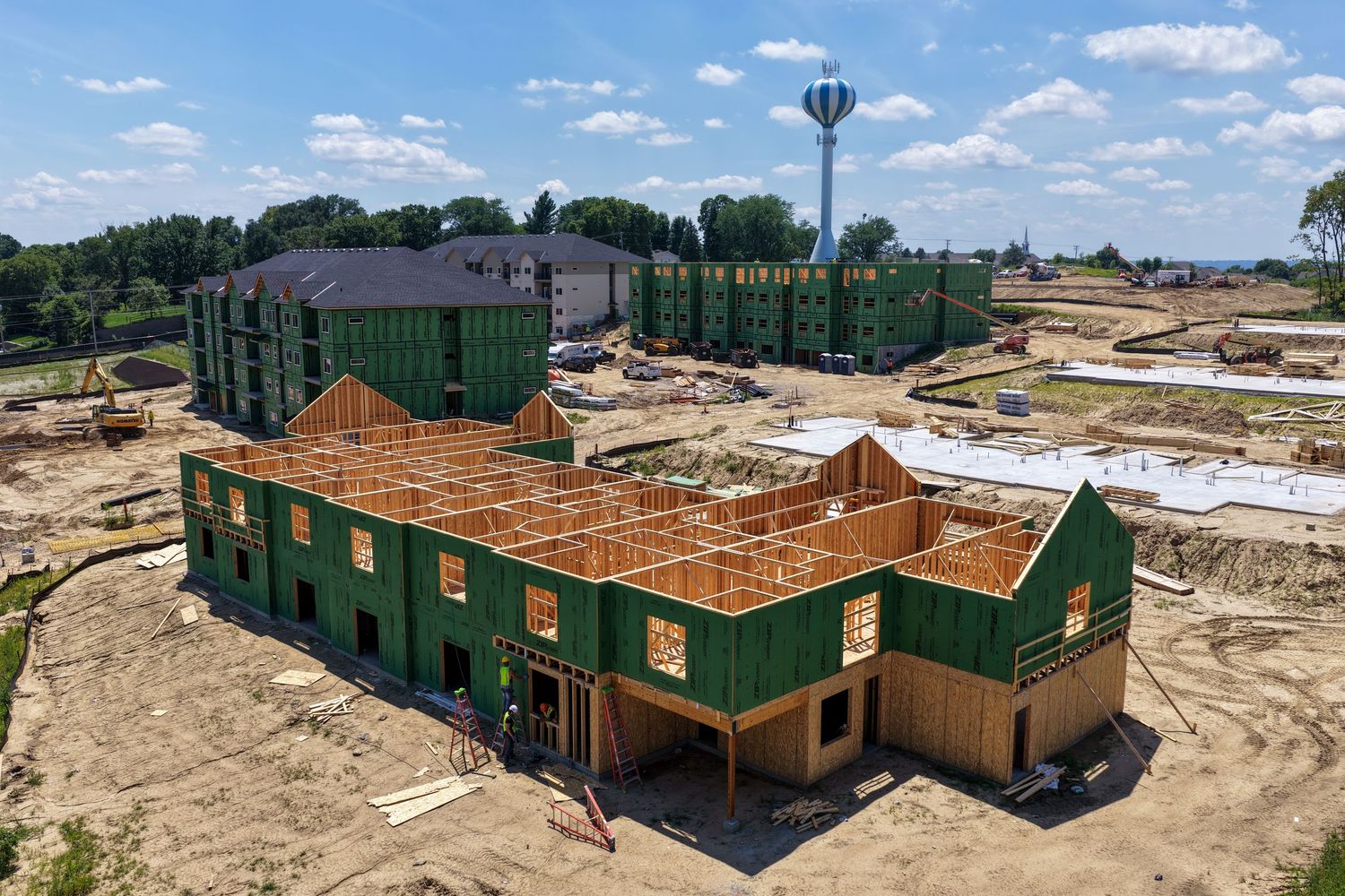
Consistent aerial documentation provides a clear, reliable record of your project from start to finish. Capture progress milestones, site activity, material staging, and weather-related impacts to create an accurate visual timeline. High-resolution imagery with repeatable angles supports reporting, verifies completed work, and strengthens communication with stakeholders when delays or changes occur.

COMMERCIAL Projects
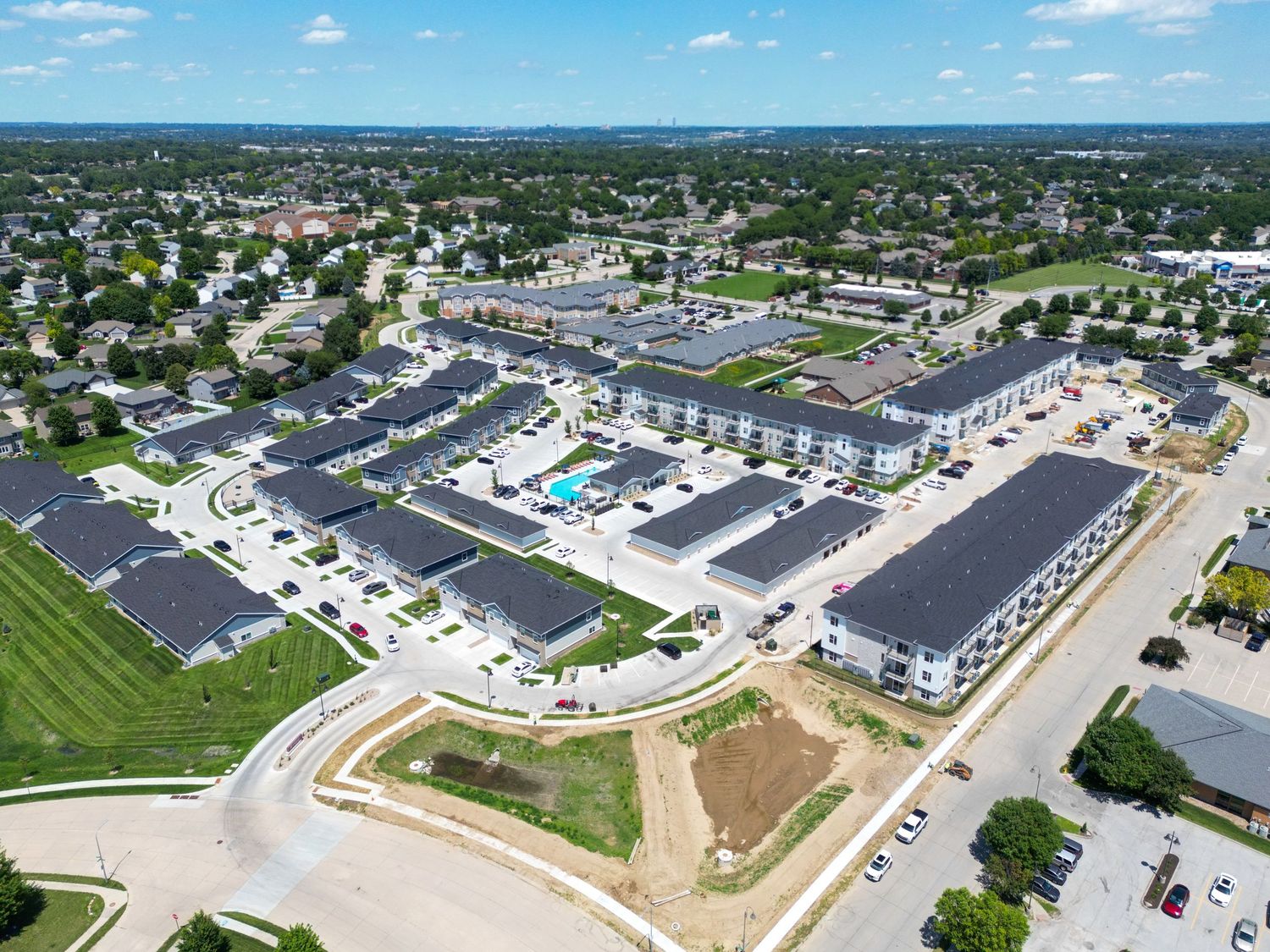
Professional aerial imagery that showcases completed commercial and multifamily projects with clarity and precision. Highlight architectural detail, building scale, and site context with clean, high-resolution photography ideal for company portfolios, marketing materials, and client presentations.

Inspections
Drone inspections provide safe, efficient access to roofs, facades, and hard-to-reach areas. Detailed aerial imagery allows contractors and property owners to assess conditions, document issues, and plan next steps without ladders, lifts, or disruption to operations.

PRECONSTRUCTION & DEVELOPMENT
Early-stage aerial overviews provide valuable site context for planning, presentations, and marketing before construction begins. Capture property boundaries, surrounding infrastructure, and environmental conditions with clear, professional documentation.

RESIDENTIAL & REAL ESTATE
Aerial and elevated photography showcases homes, acreages, and waterfront property the way the ground never can. From curb appeal and landscaping to lot size and setting, clear professional imagery helps listings stand out, supports marketing, and shows buyers the full picture before they arrive.